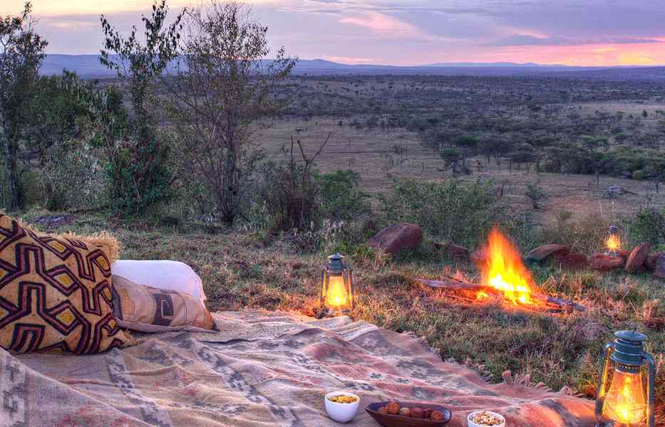
Costa Rica doesn’t take long to get under the skin. Within a couple of hours of landing in San José, the landscape shifts from city streets around Avenida Central to steep hills, forest edges, and roads that narrow as they climb. What stands out isn’t just the variety of wildlife, but how closely conservation sits alongside daily life.
Protected areas are rarely isolated; they’re threaded between towns, farms, and routes people use every day. For travellers interested in conservation, this makes the experience feel grounded. The places below aren’t remote in the abstract sense. They’re connected, accessible, and still actively being protected.
Biodiversity and Conservation Across the Central Highlands
From San José, most routes into the Central Highlands begin by heading east along Route 2 before turning off toward smaller towns like San Gerardo de Dota. The change is immediate. Traffic thins out, roadside fruit stalls give way to dense vegetation, and the air cools as the road climbs past Cerro de la Muerte.
This region is often overlooked in favour of coastal parks, but it’s one of the most important conservation corridors in the country. Trails around Los Quetzales National Park connect patches of cloud forest where species move between elevations. Travellers who go on Costa Rica trekking adventures tend to pass through these highland routes, not just for the terrain but for how clearly conservation efforts are visible on the ground.
Local guides often point out reforestation zones along the Savegre River, where native trees are being reintroduced to stabilise habitats for birds and small mammals.
Most access points sit close to the main road, but once on foot, the paths feel removed. The network of trails isn’t heavily signposted, so people usually rely on local knowledge, especially around the edges of the park where private reserves overlap with protected land.
The Resplendent Quetzal in the Cloud Forests
Further along the same route, near San Gerardo de Dota, the forest thickens into the kind of cloud cover that barely lifts during the morning. This is where sightings of the resplendent quetzal are most consistent, particularly along trails that follow the Savegre River upstream.
Early starts matter here, not because of crowds but because of bird activity. Guides usually wait near known nesting trees, often wild avocado species, where quetzals feed. They’re easier to spot in motion, moving between branches, than when they’re sitting still. It takes patience, and sometimes a fair bit of standing around in damp conditions, but sightings tend to happen in areas that still feel undisturbed.
The area around the small bridge near the entrance to San Gerardo is a common starting point. From there, narrow paths lead into the forest, crossing wooden walkways and small clearings. The terrain isn’t difficult, but the altitude can catch people off guard. Even short walks feel slower than expected.
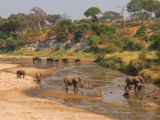
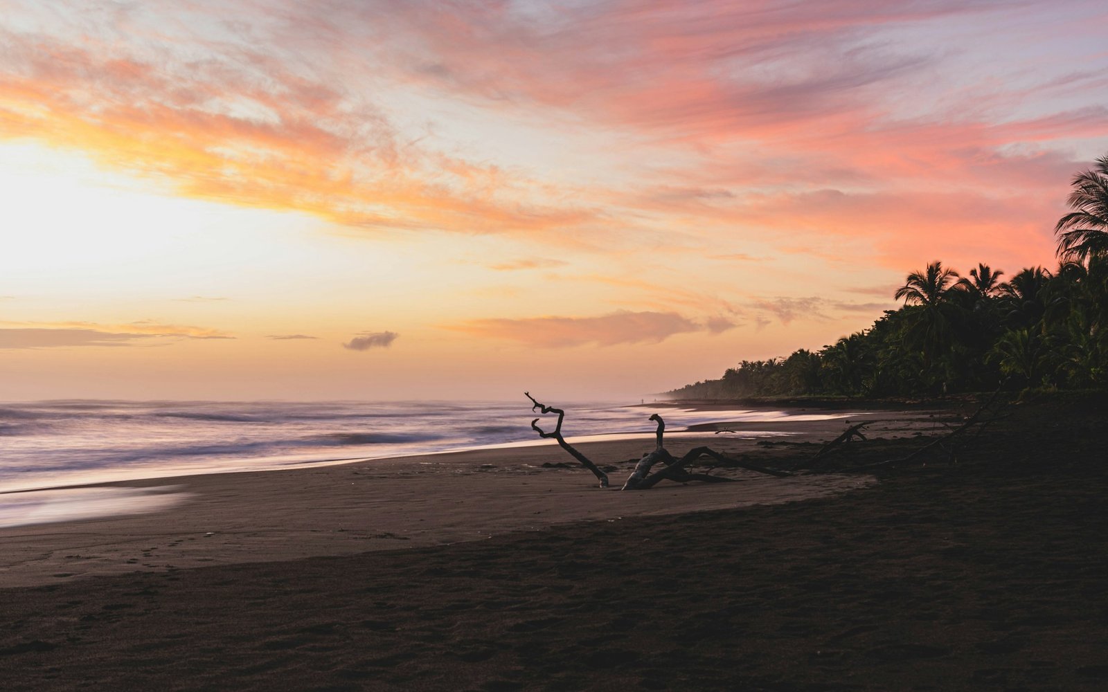
Marine Protection and Nesting Sites in Tortuguero
Reaching Tortuguero is part of the experience. Most travellers leave from La Pavona, where boats line the dock along the Río La Suerte. From there, the journey runs through narrow canals, with houses on stilts and stretches of dense vegetation closing in on either side.
The village itself sits between the Caribbean Sea and the network of waterways that form Tortuguero National Park. Walking along the main path through town, past the small airstrip and towards the beach, gives a sense of how closely people live alongside protected nesting grounds. During turtle nesting season, sections of the beach are monitored at night, with strict controls on movement and lighting.
Boat routes through the canals start early in the morning. Guides navigate slowly, cutting engines when wildlife is spotted along the banks. It’s common to see caimans resting near the waterline or monkeys moving through low branches. The layout of the park means everything is accessed by water, so movement between areas depends on these narrow channels.
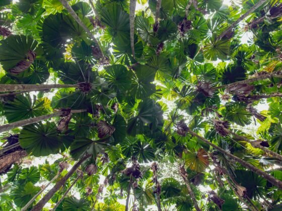
Exploring the Pristine Corcovado Jungle Canopy
On the Osa Peninsula, Corcovado feels more remote, though it’s still tied together by a few key entry points. Most people come in via Drake Bay, arriving by small plane or boat from Sierpe, then continuing on foot or by guided transport into the park.
Trails from Sirena Ranger Station cut through lowland rainforest where the canopy closes overhead almost immediately. The humidity builds quickly, and the ground stays uneven, with exposed roots and muddy sections that slow progress. What stands out here is the density of wildlife. Encounters aren’t guaranteed, but the range of species is noticeably broader than in other parks.
Moving through Corcovado requires planning around tides and distances between stations. Routes that look short on a map can take hours. Rangers keep track of visitor numbers, and access is controlled to limit impact. Even so, once inside, the sense of scale is hard to ignore. There aren’t many landmarks beyond the ranger stations themselves, so navigation relies heavily on guides who know the terrain well.
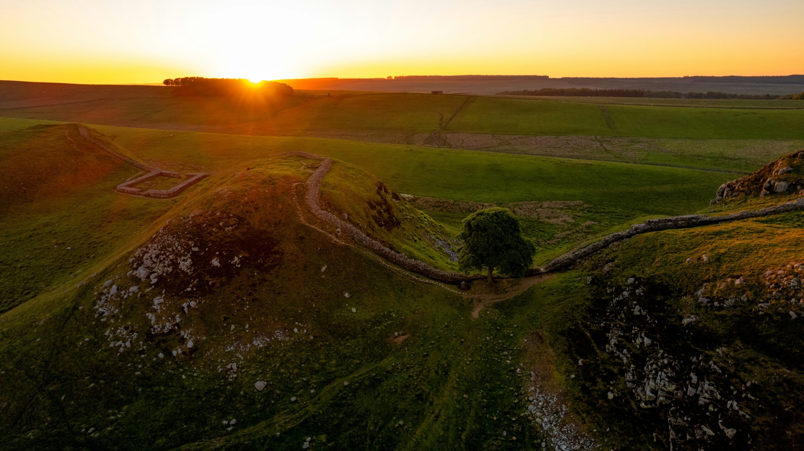
Volcanic Landscapes and Geothermal Activity in Arenal
Back north, the area around Arenal is easier to navigate, but it still carries a strong conservation focus. The town of La Fortuna acts as the main base, with roads branching out towards Arenal Volcano National Park and surrounding reserves.
Walking routes often begin near the park entrance, where old lava flows from past eruptions are still visible. Trails wind through secondary forest that’s gradually reclaiming the volcanic terrain. Sections of the path open up to views of the volcano, though cloud cover can obscure it for much of the day.
Further out, along roads leading towards Lake Arenal, geothermal activity shows up in smaller ways. Hot springs are scattered across private land, fed by underground heat from the volcano. Some are developed, while others remain basic, accessed by short paths from the roadside.
The area is well connected, with regular transport between La Fortuna and nearby towns. Despite this, conservation efforts remain visible, especially in reforested zones where wildlife corridors are being restored between fragmented habitats.
Which wild wonder will you visit?
Costa Rica doesn’t separate conservation from travel; it folds it into the experience in a way that’s easy to see once you’re moving through the country. Whether it’s tracking birds in the highlands, watching turtles along the Caribbean coast, or navigating rainforest trails in Corcovado, each place shows a different side of how ecosystems are being protected.
The routes between them are manageable, the access points are clear, and the impact of conservation work is visible without needing explanation. The choice comes down to what kind of encounter feels worth the journey.
Photo by Etienne Delorieux on Unsplash